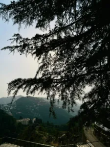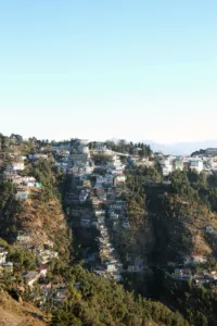
Nag Tibba is a 3,022 m (9,915 ft) peak in the Jaunpur range of Tehri Garhwal, and the highest point of the lower Garhwal hills. It is a classic weekend trek from Dehradun and Mussoorie: drive to the village of Pantwari, walk up through oak and rhododendron forest to a campsite on open meadows, and climb to the top the next morning for a wide view of the Bandarpoonch, Swargarohini and Kedarnath ranges.
The trek is short, about 16-18 km return, and suits beginners and families with some walking fitness. In winter the upper meadows are often under snow, which makes it one of the easiest snow treks near Delhi.
Why is it called Nag Tibba?
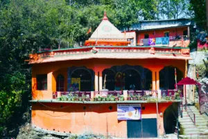
Nag means snake and tibba is the local word for a hill, so Nag Tibba is 'the hill of the serpent god'. Villagers of the Jaunpur area believe the mountain is the home of Nag Devta, the snake god who protects their cattle, and a small temple to him stands near the top. Herders still climb up to offer prayers before taking animals to the high meadows.
Why do the Nag Tibba trek
Done in a weekend
Leave Dehradun on Saturday morning and be back by Sunday evening.
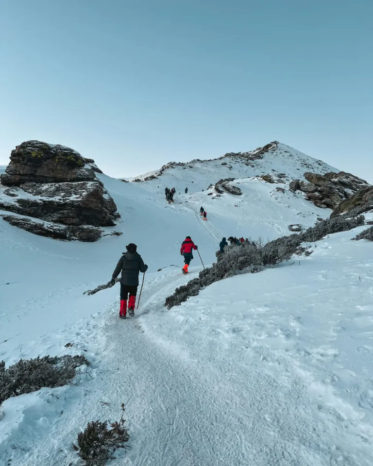
An easy snow trek
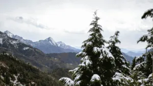
From December to March the meadows near the top are often white with snow.
Big Himalayan view
On a clear morning the summit looks out on the snow peaks of Bandarpoonch and beyond.
The trail, step by step
Pantwari village
The roadhead village with a few shops and homestays.
Water point
A small tank with a pipe about 2 km up. Fill every bottle here.
Campsite on the meadows
Grassy clearings below the summit ridge, often snowy in winter.
Nag Tibba summit (≈ 3,022 m)
Early climb through forest to the top and the Nag Devta temple, then back down to Pantwari.
Distances to Pantwari
How to reach PantwariBefore you go
- A forest entry fee applies; carry a photo ID. Operators usually include it.
- The last stretch to the summit is short but steep; take it slowly.
- Mobile network works on much of the route.
- In winter, carry microspikes or gaiters for the snow near the top.
- Carry all rubbish back down; the meadows are used by village herds.
Nag Tibba Trek FAQs
How difficult is the Nag Tibba trek?
Easy to moderate. The climb is steady, with a short steep stretch near the top. Beginners with basic fitness manage it well.
How long is the Nag Tibba trek?
About 16-18 km return from Pantwari, usually done in two days with one night at a campsite.
Does it snow at Nag Tibba?
Yes, the upper meadows usually get snow between December and March, though the amount varies every year.
How far is Nag Tibba from Dehradun?
Pantwari, the base village, is about 90-100 km from Dehradun, a 3-4 hour drive via Mussoorie.